A day in Pamukkale

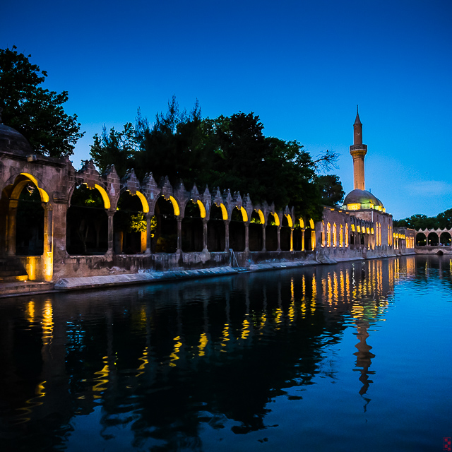
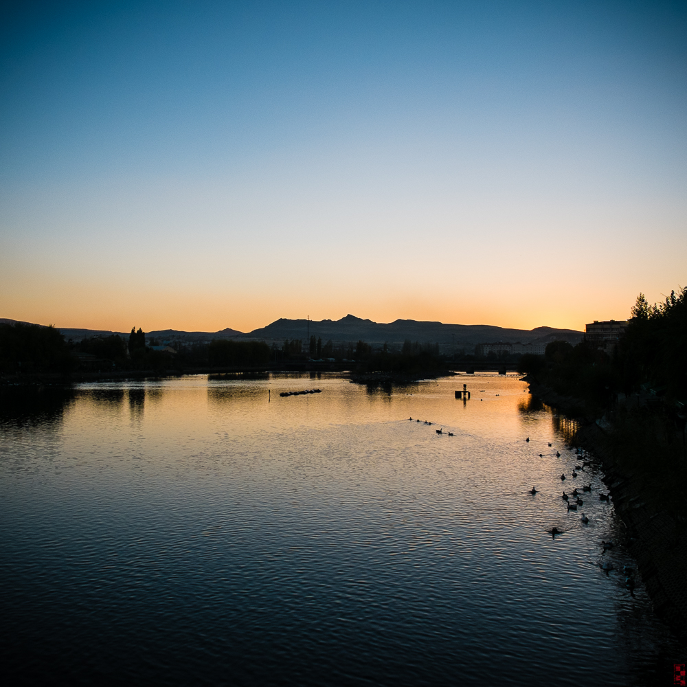
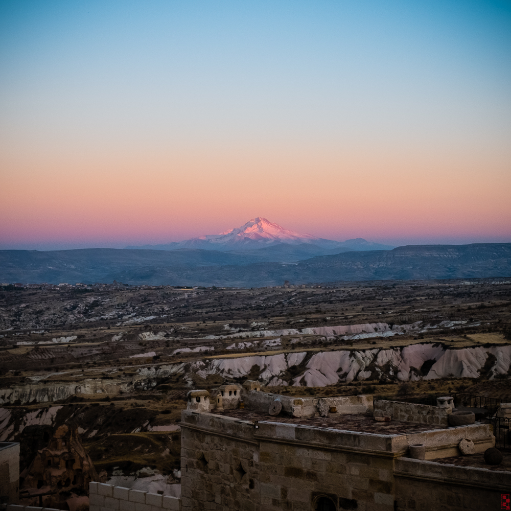
One fine Saturday last December, I went to Pamukkale for a day trip. It is a shot flight from Istanbul, and since there is not much to see besides the famous travertines, and the archeological remains of Hieropolis, I returned the same evening.

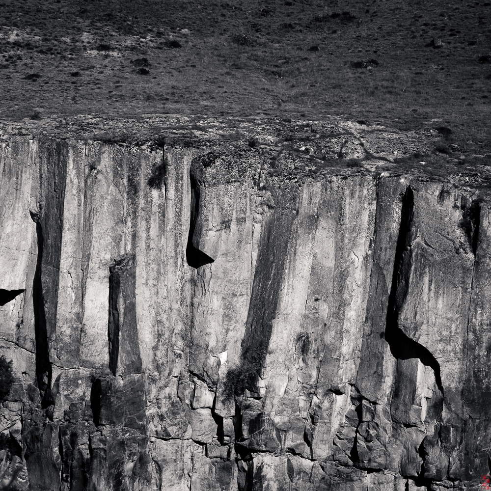
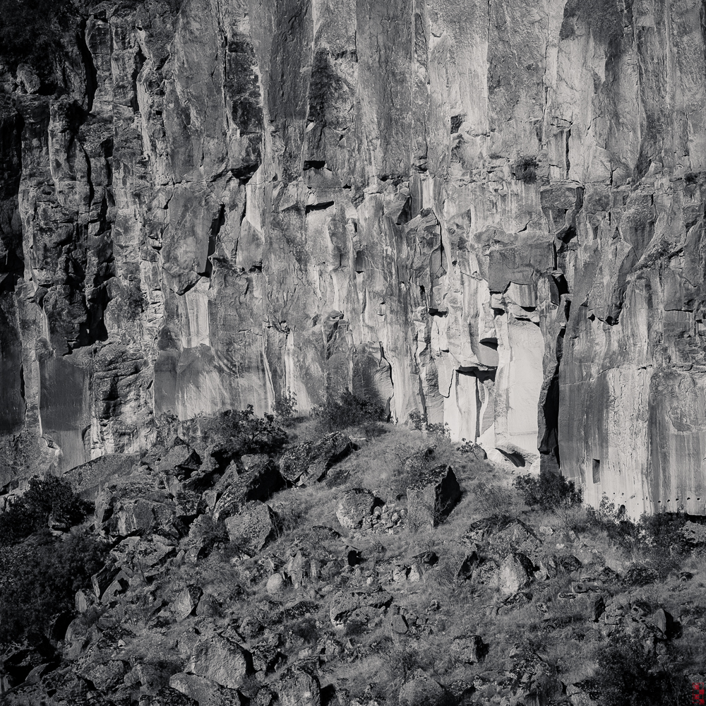
The treventines are formed by the dissolved carbonite minerals in the waters of the hot springs in the area. As they flow and evaporate, they leave the minerals behind in the form of steps or shelves with raised brims, and brilliant blue water pools on top of the shelves. This formations are not unique to Pamukkale, but they are at a larger scale than the other ones that I know of.

The minerals are a blindingly white when they are first deposited but they need to be continually renewed to keep them that way. Instead of letting the nature to take its course, the water is managed, and diverted to different areas of the site according to some scheme. I think the result can be accurately described as the biggest and longest-running art installation in the world.

The travertines are formed on the SW side of a low hill or plateau, and the archeological site of Hierapolis is on top of the hill. I haven't toured the archeaological site as it is several kilometers in extent, but from a distance I could see that there are some impressive remains of buildings, including an theater.

On top of the hill there is also large public pool fed from the same hot springs, and a number of tourists seemed to be enjoying a soak. Alternatively, you can walk on a designated section of the travertines, and splash in the shallow pools there.

As for photography, I took some photos of travertines, of course, but as luck would have it, the photogenic blue pools of water were only visible in a relatively distant part of the site. So I spent quite a bit of time photographing the tourists. I also took a lot of out-of-focus photos of groups of figures, as a instead semi-abstract experiment. When really oof, the figures turn into a gesture drawing with recognizable but highly stylized shapes. An acquired taste maybe, but I like the results.

Mists of Sumela

In spring 2014 I visited Trabzon and the surrounding area over a weekend. This was the second time I was in Trabzon, but the first time being about 30 years back, it was about time I went a second time.

Trabzon is in the eastern Blacksea region of Turkey, with a long history; it was the ultimate destination of the ill-fated expedition recounted in the Anabasis of Xenophon, the place where they returned to the Greek civilization. It is spread along the Blacksea coast and surrounded by the green hills and mountains that the region is famous for.

Sumela monastery in the rain, Trabzon, Turkey

Sumela monastery in the rain, Trabzon, Turkey

My main goal for the trip was visiting Sumela Monastery, located in the middle of a national park about 45km and one hour south of Trabzon. The monastery was founded in the 4th century, and over the centuries, it was several times abandoned and rebuilt, both under the Byzantine and Ottoman rulers. It was finally abandoned after the population exchange of 1923 and today it is a museum.

Sumela is located about 1200m above sea level in a forested mountain valley, clinging to the side of a rock face that rises several hundred meters above the valley floor. You can either take the steps going up from the valley floor, or drive up to the same level as the monastery and walk a few kilometers to reach it. Either way, the views are breathtaking.

On the day of my visit, the weather was rainy, sometimes a light rain that we call 'idiot wetter', and sometimes what the English call 'it's raining cats and dogs.' I put up two views of the monastery, one clear and the other during heavy rain. In my view, the rainy view is infinitely more in character. There are several other photos of the valley, trees, the lush undergrowth, rocks and even a snail contently munching a leaf.

Most of the rest of the trip was spent driving around in the hills and valleys of the Trabzon area. The hillsides (some so steep, they should be called cliffs, really) are covered with forests and tea plantations, as the mild and rainy climate allows the subtropical bush to be cultivated here. As any visitor to Turkey notices, tea is the national drink of Turkey, but maybe you didn't know that most of it is grown domestically.

As you drive along the mountain roads, misty vistas of hills, valleys, small villages, gardens and plantations open up one after another. Of course, the villages are less picturesque close up. The reason even cliffs are covered with gardens is the scarcity of arable land in this region, and even though the people have a reputation for being resourceful and hardworking, they are also quite poor. You can see that they waste nothing; one of the photos show a barn door made out of a large cable spool. They have plugged the holes with strips of scavenged tinplate from cans, splashed on some paint for good measure and created an interesting abstract painting/found art installation. Just imagine it hanging on a gallery wall in Art Basel.

Since I didn't have the time to sample the local cusine properly, I will not comment on it.

Urfa, Gobekli Tepe, Mardin

In April 2013, I spent a weeked visiting Gobekli Tepe, Urfa, and, as an afterthought, Mardin.

Gobekli Tepe

The initial idea for the trip was to see Gobekli Tepe, probably the nearest you can get to the 'cradle of civilization' as you can get. It is a relatively recent find, and excavations started only in 1996. It is the earliest site that we know with real buildings, earliest site with monumental sculpture, and probably the earliest site with a large scale ritual cult thing going on. Dating to 10,000-8,0000 BCE, it makes Stonehenge, as well as anything else we know of, look positively post-modernist.

To get the age of Gobekli Tepe in perspective, just realize that Stonehenge is closer to us in time than it is to Gobekli Tepe: the earliest date for the building of Stonehenge is 3,000 BCE, which means Gobekli Tepe was already 7,000 years old when Stonehenge guys decided heaping really large stones on top of each other was the hip thing to do. There is nothing new under the sun.

Gobekli Tepe site is about 300m in diameter, situated on top of a plateau rising from the surrounding plain for several hundred meters. There are the remains of several circular buildings, and over 200 pillars belonging to the buildings as well as several unfinished pillars were located. (Not all of them are excavated.) The largest T-shaped pillars are 6m high, and weigh 20 tons. They have carvings of many different animals on them.

When Gobekli Tepe was built, people still lived in a hunter-gatherer society and Gobekli Tepe is generally thought to be a mountain sanctuary serving the people living in the surrounding region (as far away as 100km). This "cathedral on a hill" might have served as the center of a cult of the dead, according to the head of the archeological team excavating Gobekli Tepe, Klaus Schmidt.

Given that the most recent location for the domestication of wheat is only 30km away from Gobekli Tepe, it seems that the region was the first 'Silicon Valley' of human history where the main components of v1.0 of the civilization was invented: farming, and large-scale cooperation that enabled the large-scale religion, art and building in a virtuous circle.

Unfortunately, at the time I visited the site, the remains were not in a 'photography friendly' state. Some of the most important pillars were boxed up to protect them, and the main excaveted area was under a temporary roof structure for the same purpose. As a result, I don't have a single photo of the actual remains, just a view from the top of the hill of the 'wishing tree' and surrounding plain. I hope that when excavations are finished, a major museum is built to house and exhibit the remains.

Urfa

After visiting Gobekli Tepe in the morning, I spent the rest of the day in Urfa visiting Abraham's Pool, and the hill situated over it. The park area containing the pool and neighboring mosque is were teeming with local people as well as people from the neighboring cities and I took more than my usual quota of 'people pics'. Let's call it street photography.

There is a hill overlooking the park, with a small, quiet cementery. Apparently people like planting an local orchid on the graves, and most of them were just past their prime, which seemed somehow more fitting for a cementery.

Mardin

Since I 'finished' Urfa on Saturday, I decided to drive to Mardin on Sunday. It is about 190km from Urfa, and the road is right across the seemingly endless plain visible from Gobekli Tepe.

Mardin itself is filled with wonderful stone buildings and definitely worth going for a second time. I simply didn't have the time to photography even a fraction of the buildings properly as I had to drive back to Urfa for my plane in the evening.

The Cappadocian portfolio

In 2013, I visited Cappadocia for the second time. It had been more than 10 years since my first trip and ever since I had been hoping to visit again. The area around Goreme is a unique, enchanted landscape filled with fairy chimneys and other weird formations. It is a UNESCO World Heritage site.

This part of Cappadocia is covered with tuff, formed from compressed volcanic ashes from Erciyes, Hasan and Melendiz volcanoes. It is soft and easily carved. The people living in the area had been excavating their homes and other buildings from tuff for millennia. There are hundreds of rock churches and even whole underground cities that you can visit.

I flew to Kayseri in the morning, the nearest major airport, and rented a car. Before heading to Goreme, I drove up the road to Erciyes, the 3,916m volcano that watches over Kayseri like an patriarch. I had lunch at a roadside restaurant with a commanding view of Kayseri and surrounding landscape. After lunch, I drove the 80km or so to Goreme and found my hotel. It was one of the hotels where rooms are carved into the soft rock, and I lay down in my room to rest for a bit before heading out to start photographing.

Unfortunately, a mosque with a arena-rock-quality sound system was virtually just outside my door and when the call to prayer started, I could feel the voice of the muezzin vibrating in my chest. I decided to move to another hotel, as I am very particular about noise when I am sleeping and I had selected this one at least in part because of its "sound-proofed' rooms. The receptionist helped me to book at the Doubletree in Avanos, which is a few km from Goreme. It is a very comfortable, modern hotel, and while staying at a rock-carved hotel is nice-to-have, sleeping soundly is a must-have.

I spend the next few days driving around, photographing, and eating. The restaurants that I had tried were mostly Turkish, but meant for tourists, and of middling quality. The high point of the trip was the hot air balloon tour over Goreme and surrounding area. The balloon company picked me up along with other tourists well before dawn, and we drove to a field where there were tens of balloons being preped for launch. Just before dawn we launched along with tens of other balloons. We flew over fields and fairy chimneys, going down to tree-top level and up to 800-900m (according to our pilot.) The view and experience was amazing. Highly recommended.

On the last day of the trip, I drove to Ihlara valley, a narrow gorge with spectacular cliffs, and filled with old churches. I took photos from the view deck, and went down the stairs part way to the valley floor. Then I drove back to Kayseri, went up the Erciyes again from another direction, had another meal at the same restaurant and flew home.

The photo gallery is here.